Implementation of precision agriculture or site-specific farming becomes possible using Global Positioning System (GPS) technology. GPS technology combined with GPS-server.net tracking system enables the gathering of real-time data collection with accurate position information, leading to the efficient manipulation and analysis of collected data.
GPS-server.net service can be used for precision farming, field planning, yield mapping, and tractor guidance. Such information allows farmers to achieve effective soil/plant treatment strategies which can enhance production.
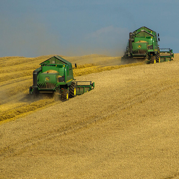
GPS-server.net software and GPS technology help to work during low visibility conditions, such as rain, fog, and darkness. Precision agriculture is rapidly growing due to the introduction of high technology tools into the agricultural community which is more accurate, cost-effective, and user-friendly. With the help of a GPS tracking system, farmers can have benefits of micromanaging their fields. Precision agriculture benefits are available not only for large farms with huge capital investments and experience but also for new business starters. Using a GPS-server.net tracking system is an inexpensive, feature-rich and easy to use solution.
GPS equipment manufacturers have developed several tools to help farmers and agribusinesses become more productive and efficient in their precision farming activities. The accuracy of GPS allows farmers to create farm maps with precise acreage for field areas, road locations and distances between points of interest. GPS allows farmers to accurately navigate to specific locations in the field, year after year, to collect soil samples or monitor crop conditions. Location information is collected by GPS receivers for mapping field boundaries, roads, irrigation systems, and problem areas of crops such as weeds or disease. Crop dusters equipped with GPS devices are able to spread swaths accurately over the field, applying chemicals only where needed, minimizing chemical drift, reducing the number of chemicals needed, thereby benefiting the environment and more accurate usage of materials.
Farmers and agriculture service providers can expect even further improvements as the GPS-server.net tracking system continues to modernize.
Benefits in agriculture
- Precision soil sampling, data collection, and data analysis enable localized variation of chemical applications and planting density to suit specific areas of the field.
- Accurate field navigation minimizes redundant applications and skipped areas, and enables maximum ground coverage in the shortest possible time.
- Ability to work through low visibility field conditions such as rain, dust, fog and darkness increases productivity.
- Elimination of the need for human “flaggers” increases spray efficiency and minimizes over-spray.


